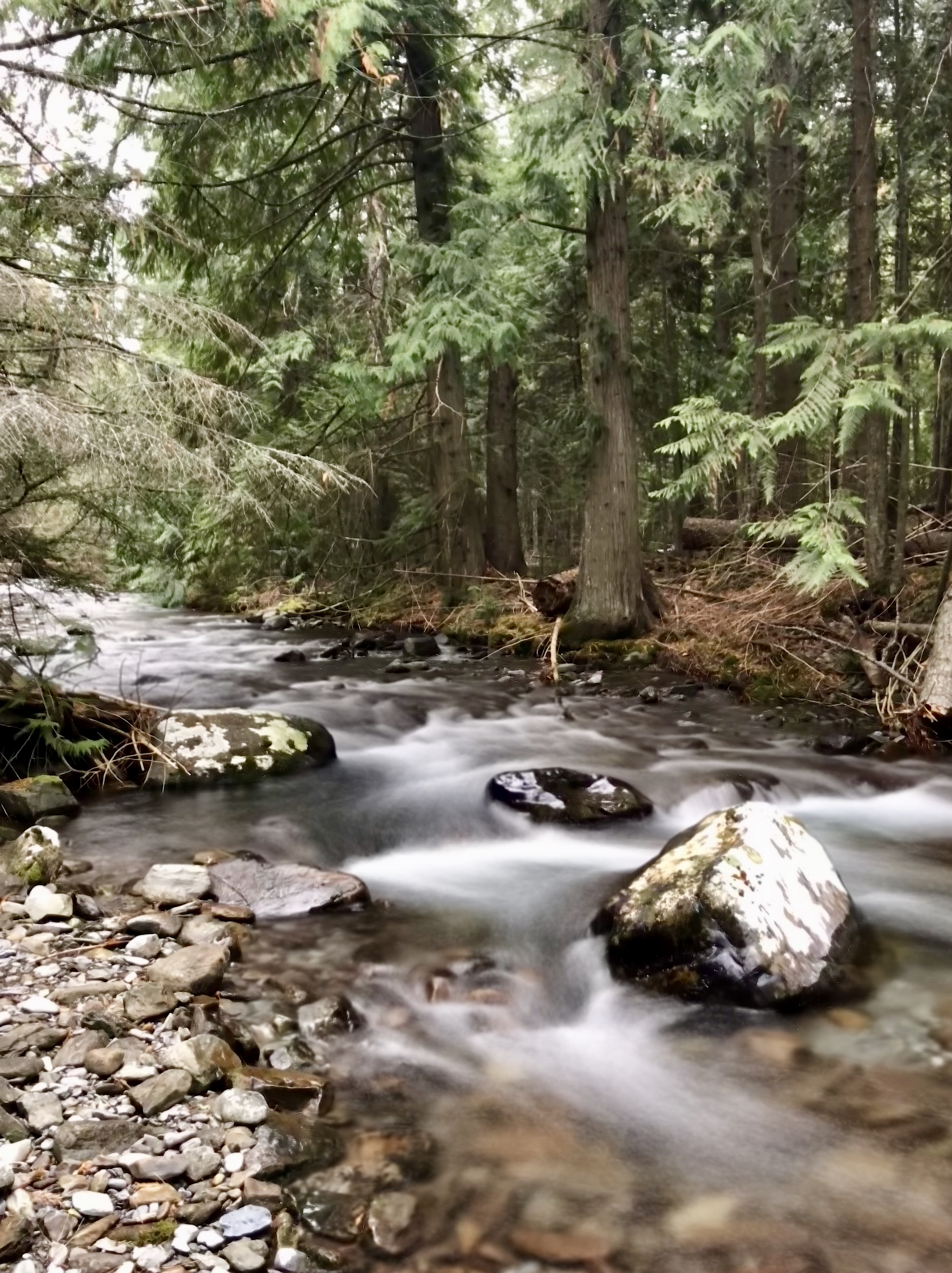
Clean and plentiful water is an essential component of life – all things rely on it for survival. The Flathead Indian Reservation is home to an incredibly diverse and complex environmental landscape containing wetlands, riparian corridors, forested mountains, semi-arid sagebrush steppe, and alpine tundra. Our ancestors have taken care of this landscape since time immemorial. Our current efforts to manage local water resources are a natural extension of this generational responsibility.
The Water Resources program was established in 1981 to help characterize the water resources on the Flathead Indian Reservation. Throughout the years the Water Resources Program has been the lead technical agency on providing quality-assured data to support ongoing efforts to protect Tribal water rights and local water resources. The Water Resources Program currently employs two professional hydrologists, a data management hydrologist, a chief of field operations, and four full-time hydrographers.
“Mission Statement: To preserve, protect, and enhance water resources of the Flathead Reservation for future generations.”
The Water Resources conducts a surface water measurement program consisting of over 80 real-time water measurement gages. Program staff work to quantify and characterize water resources on the Reservation. In addition, the Water Resources Program also provides technical support to CSKT Natural Resource Department staff as well as Tribal, Federal, and local partner agencies.
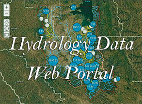
The Tribes' water measurement data is available at the Hydrology Data Web Portal .
Available Division of Engineering and Water Resources Projects
Falls Creek Final Environmental Assessment_030523.pdf
Falls Creek Finding of No Significant Impact_030524.pdf
Falls Creek Notice of Availability_030524.docx
|
20231011_JockoServiceAreaImprovements_FONSI_101123_SRH.pdf
Popular 205.07 KB |
10/26/2023 11:13:54 |
|
09.11.2023 Jocko Canals Final EA.pdf
Popular 30.57 MB |
10/26/2023 11:14:12 |